The 2016 field work campaign on the Dzhungarian Fault
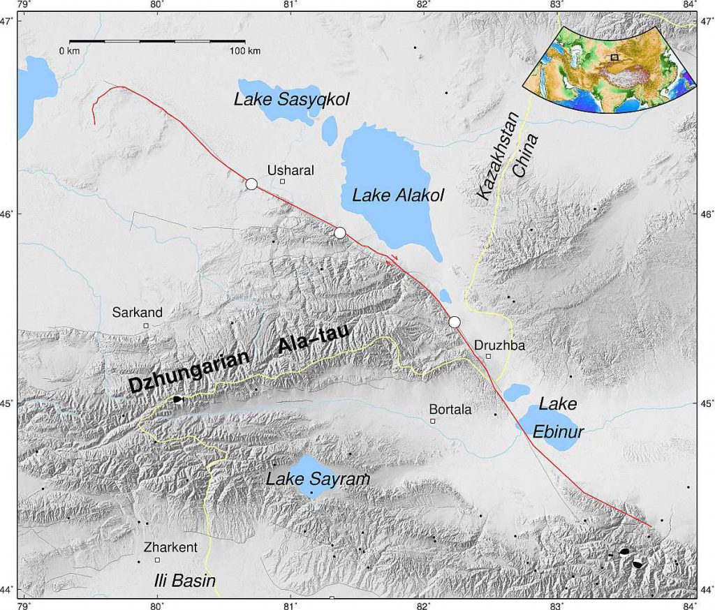
In 2015, an EwF team went out for field work in the northern Tien Shan to investigate the slip rate of the Dzhungarian Fault (read the article here). Based on the new findings, we ran another field campaign on this major strike-slip fault in summer 2016. This time we focussed on two different questions:
- What role does the fault play in the context of the overall regional shortening? Answering this question will help us to understand how the collision of India and Eurasia leads to mountain building more than 1000 km north of the actual plate boundary.
- How often does the fault rupture in major earthquakes and how strong do they get? This addresses a problem that is relevant for the entire Tien Shan region and a focus of EwF research. Here, faults seem to rupture in rare, but very strong earthquakes (Abdrakhmatov et al., 2016; Grützner et al., 2017). For this reason it is often difficult to investigate more than one or two past seismic events. The Dzhungarian Fault has a higher slip rate than many other faults in the region. This means it has probably seen more earthquakes than other faults in the same time, which makes it an interesting target for our research.
Faults in the mountains
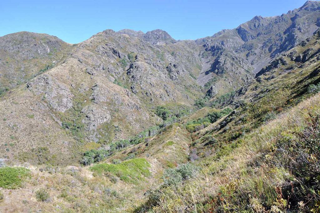
We addressed the first question by looking at several sites in the Dzhungarian Ala-tau, the mountain range south of the fault, at which we identified hints for active faulting in satellite data. Thanks to a COMET grant we were able to buy Pléiades stereo imagery for a good part of the fault.
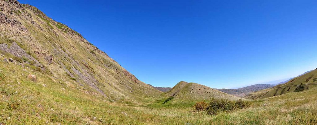
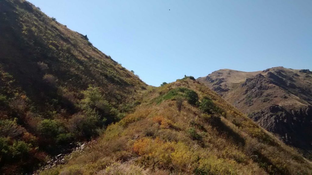
These mountains are remote and rough terrain. Detailed planning before the field campaign was necessary to find roads and bridges that we could use. Indeed, driving in the Ala-tau was a bit of an adventure. We found a number of spectacular sites that tell us a lot about how the mountain range is deforming. The geomorphology records tectonic activity in the drainage pattern, in uplifted and offset river terraces, and in large fault scarps that testify to strong past earthquakes.
Paleoseismological trenching
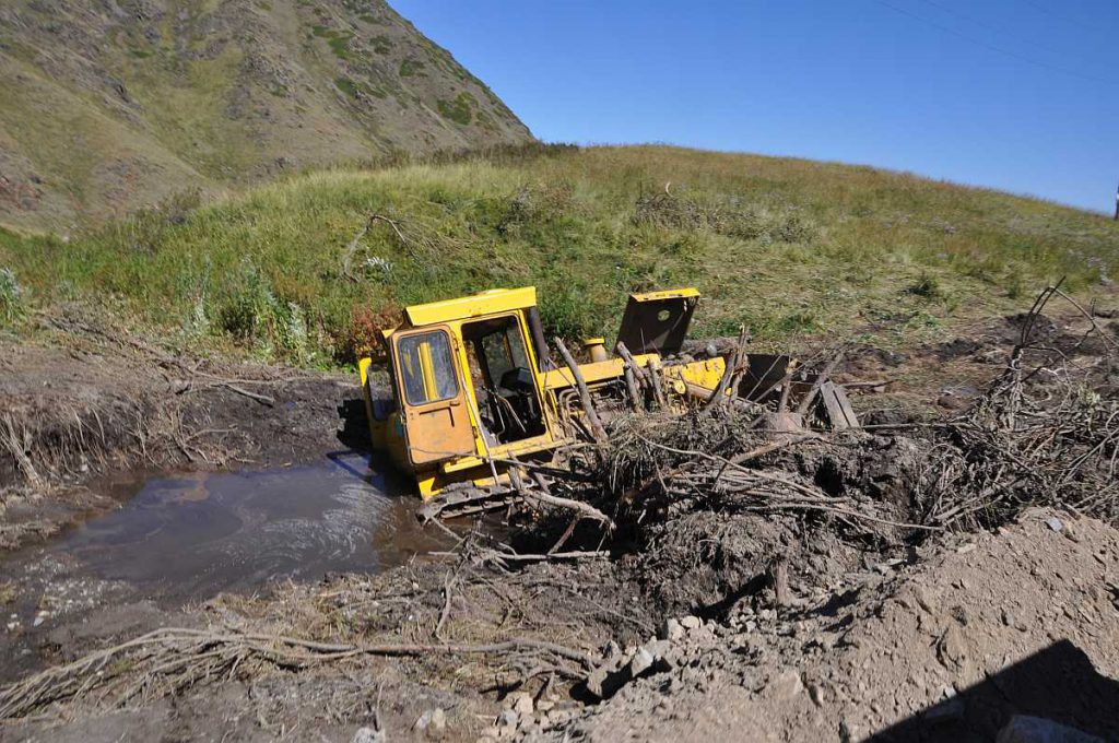
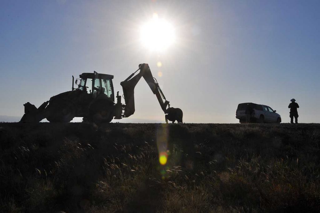
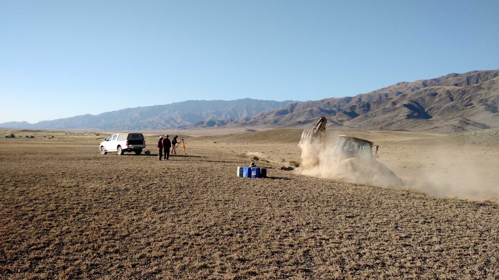
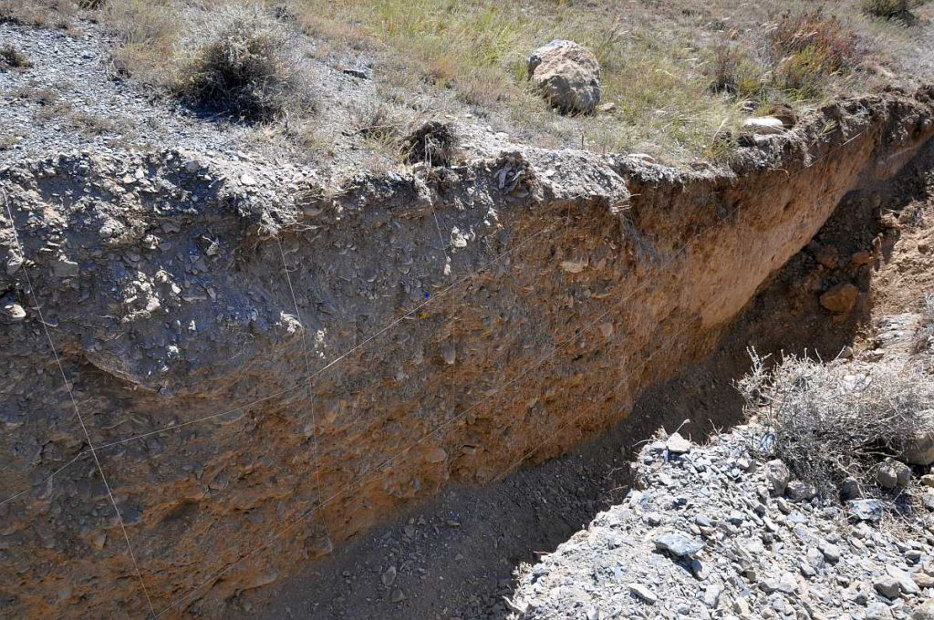
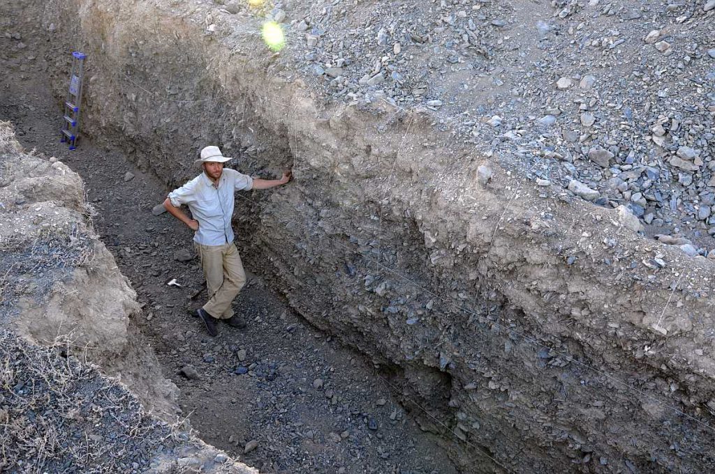
In order to address the second question we identified a couple of sites at which we wanted to excavate trenches across the fault. This technique, paleoseismological trenching, allows identifying sediment layers offset in earthquakes. Dating the offset sediments can then be used to reconstruct the faulting history. The first big problem to solve in this area was of course to find someone with an excavator. Our Kazakh colleague Aidyn Mukambayev, however, does not believe in problems. When we saw an excavator driving along the main road near Usharal, he flagged it down and started negotiating with the driver. Within a couple of minutes this problem was solved. We had four trenches and three additional pits opened for us, and all of them turned out to be just in the right place.
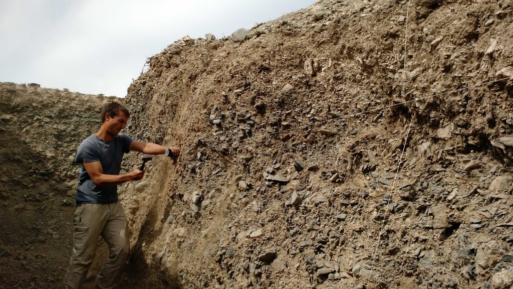
Trenching is a laborious enterprise. The trench walls had to be cleaned, straightened and brushed by hand. Then we used string and nails to set up a 1 x 1 m grid on the trench walls. We took hundreds of photographs to build a 3D model of the trench and then sketched the trench walls in 1:10 scale. Special care was necessary to identify the main faults and the offset geological layers. We then sampled for OSL (optically stimulated luminescence) dating, because unfortunately we found no organic material for radiocarbon dating in this desert environment.
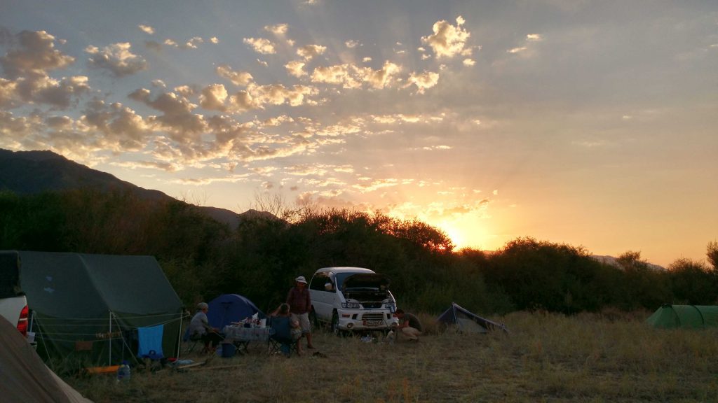
Now we are working on the data that we collected and we are waiting for the OSL results. This field trip was a great success not least thanks to Kanatbek Abdrakhmatov who organised all the logistics and who knows more than anyone else about the geology and the tectonics of the Tien Shan. Aidyn Mukambaev organised all the permits that we needed to work in the border area with China – it is still hard to believe that everything went so smoothly and that we never had to turn round at the check points. Sagyn showed his incredible driving skills again and Aynagül was the best cook and camp manager that any scientist living in a tent in the Kazakh desert could possibly wish for.
Thanks, pақмет, paқмaт, and большое спасибо to this wonderful team!
References and further reading
- Abdrakhmatov, K., Walker, R.T., Campbell, G.E., Carr, A.S., Elliott, A., Hillemann, C., Hollingsworth, J., Landgraf, A., Mackenzie, D., Mukambayev, A., Rizza, M., & Sloan, R.A. (2016). Multi-segment rupture in the July 11th 1889 Chilik earthquake (Mw 8.0–8.3), Kazakh Tien Shan, identified from remote-sensing, field survey, and palaeoseismic trenching. J. Geophys. Res., Solid Earth121 (6), 4615–4640. http://dx.doi.org/10.1002/2015JB012763.
- Campbell, G. E., Walker, R. T., Abdrakhmatov, K., Schwenninger, J. L., Jackson, J., Elliott, J. R., & Copley, A. (2013). The Dzhungarian fault: Late Quaternary tectonics and slip rate of a major right‐lateral strike‐slip fault in the northern Tien Shan region. Journal of Geophysical Research: Solid Earth, 118(10), 5681-5698.
- Grützner, C., Carson, E., Walker, R. T., Rhodes, E. J., Mukambayev, A., Mackenzie, D., Elliott, J. R., Campbell, G., & Abdrakhmatov, K. (2017). Assessing the activity of faults in continental interiors: Palaeoseismic insights from SE Kazakhstan. Earth and Planetary Science Letters, 459, 93-104. doi: 10.1016/j.epsl.2016.11.025
-
Voytovich, V. S. (1965). Development of Dzhungar deep fault. International Geology Review, 7(5), 874-883.
-
Voytovich, V. S. (1969), Nature of the Dzhungarian deep fault (in Russian), Tr. Geol. Inst., 183, 189.
