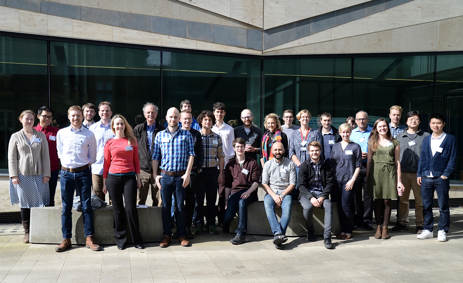
COMET Topography Workshop in Oxford
Oxford University kindly hosted the COMET Topography Workshop from 31 March to 1 April, 2016. The workshop was all about high-resolution topography data derived from stereo satellite imagery and Structure-from-Motion. Aim was to provide practical training with the ERDAS Imagine and Agisoft Photoscan softwares, to discuss best practice and to talk about strategies and problem solving. The event was mainly organized by Austin Elliott, lectures were given by Austin, Yu Zhou, David Mackenzie, John Elliott (all from Oxford), and by Ramon Arrowsmith from Arizona State University.
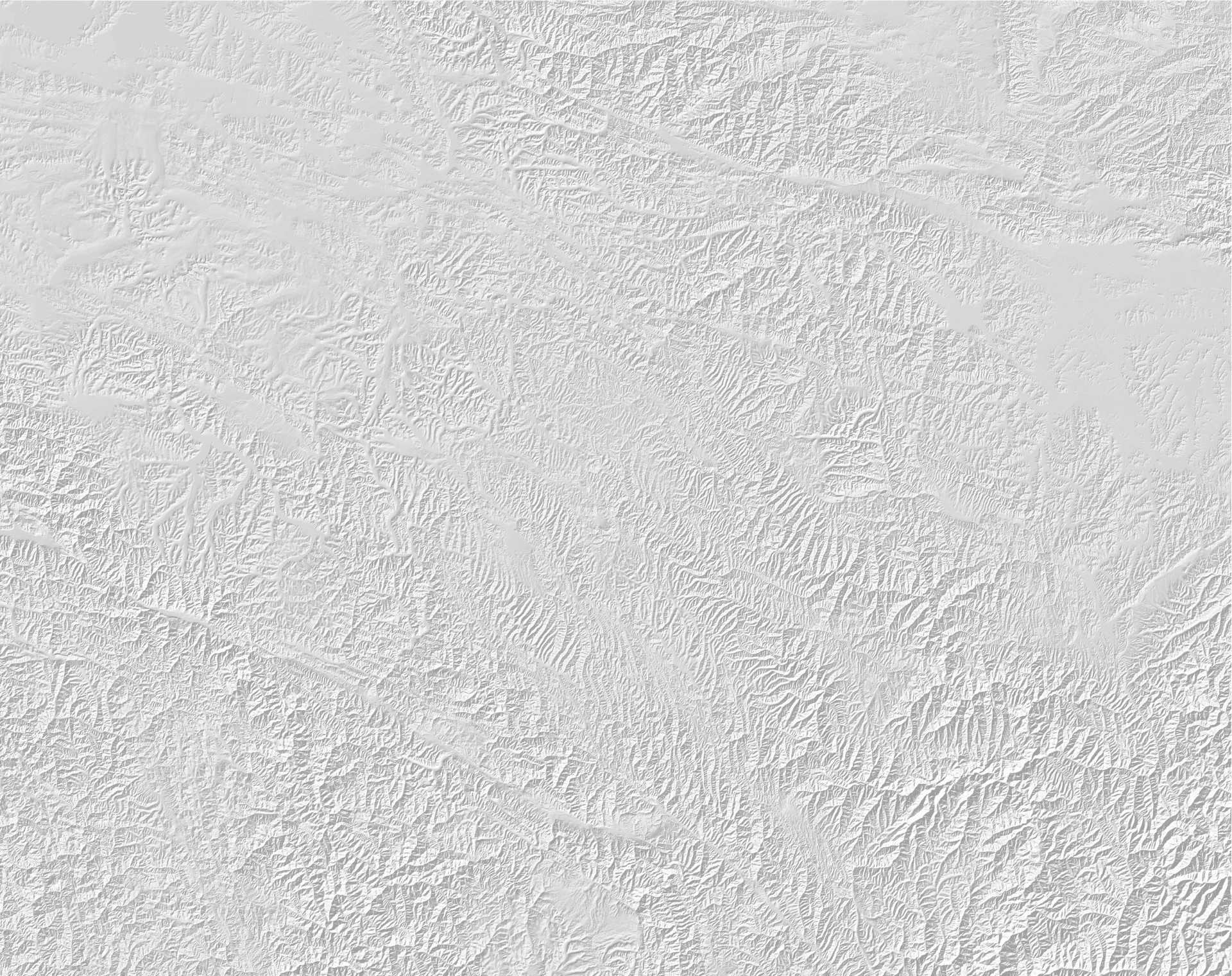
 High-resolution topography data are extremely useful for many earth science disciplines including volcanology, sedimentology, hydrogeology, and earthquake geology. In the EwF project we regularly use stereo satellite data to produce digital elevation models (DEM) of rather large areas (>100 km²). These DEMs enable us for example to detect fault scarps, to measure offsets of geological features, to analyse tectonic morphology, and to reveal drainage response to tectonic deformation. In most cases we make use of Pléiades or SPOT imagery, but there are even more satellites that collect stereo images such as WorldView or GeoEye. In case of Pléiades, the DEMs can have up to 1 m resolution. Our target areas include Iran, Kyrgyzstan, and Kazakhstan.
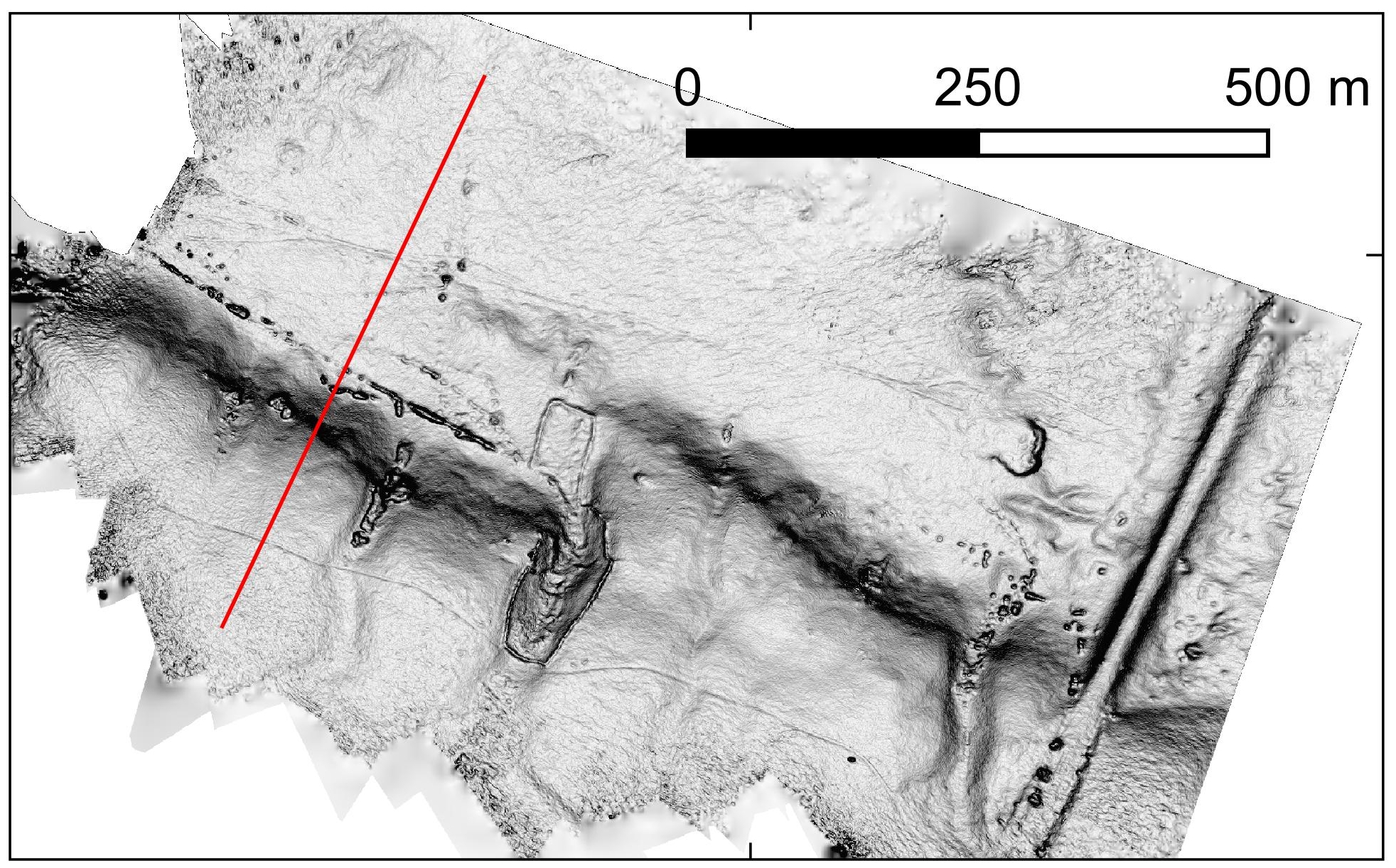
Example of a high-resolution DEM of a fault scarp in Kazakhstan.
For smaller areas and even higher resolution DEMs we use helium balloons/helikites and drones. Typical targets are fault scarps and earthquake surface ruptures, river terraces, small-scale folding and small outcrops. For EwF we applied these methods to Kyrgyzstan and Kazakhstan.
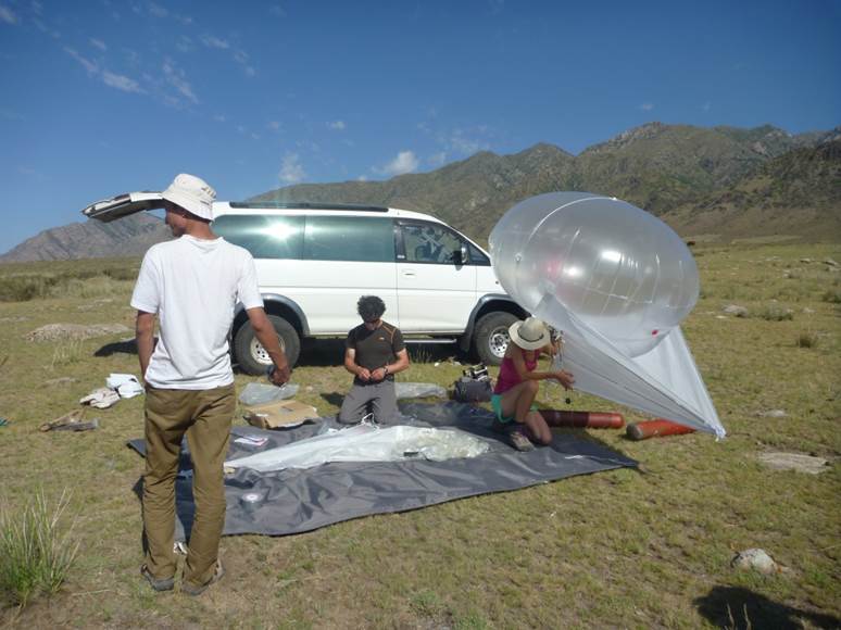
Our helikites usually operate around 50-80 m above ground and are dragged by a fishing line. The attached compact camera takes hundreds or thousands of aerial images which are then used to produce DEMs from Structure-from-Motion photogrammetry.
A great source for high-resolution topography data is OpenTopography, a website hosted by Ramon Arrowsmith and his team (funded by the NSF). Here you can currently find a huge collection of LiDAR data, but they will add stereo satellite DEMs and Strcuture-from-Motion data in the future. OpenTopography also hosts the SRTM3 and SRTM1 data.
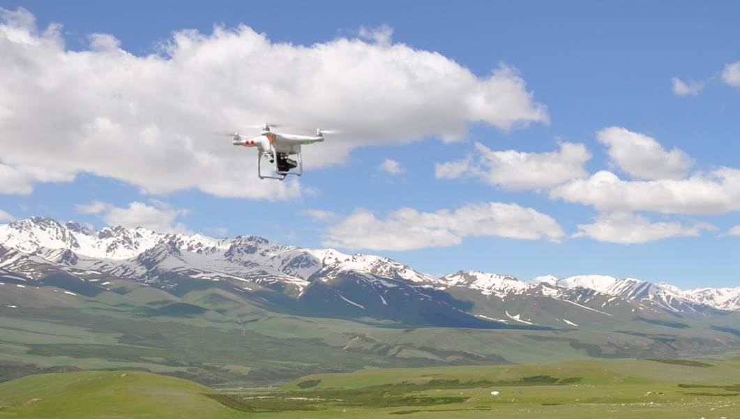
A small, battery-powered drone with an attached compact camera on its flight across a fault scarp in Kyrgyzstan.