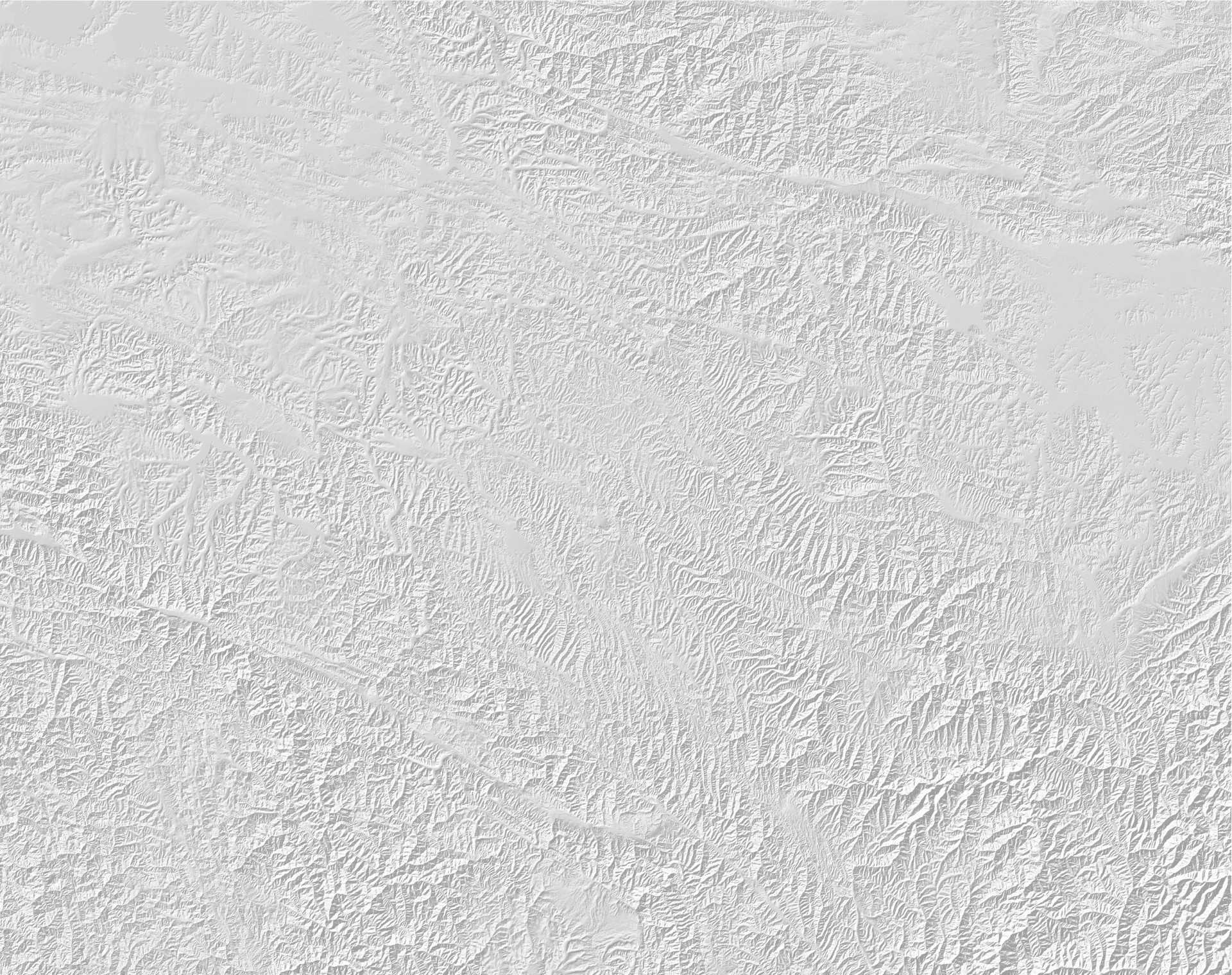
STINGS: Seismicity and Tectonics in Ninxia, Gansu, and Sha’anxi, is co-led by the Institute of Geology, China Earthquake Administration (CEA) and the University of Oxford, and is co-funded by NERC and the National Science Foundation of China. The population of this region is about 70 million, and history records at least ten M>7 earthquakes in the region that caused high death tolls, including the 1556 Huaxian earthquake which, with over 800,000 deaths, is the most deadly earthquake ever recorded. Many of the cities of the region have grown rapidly around the nuclei of much smaller cities that were destroyed by earthquakes in the past. The team, involving scientists from the CEA, the Earthquake Administrations of Ningxia, Gansu and Sha’anxi, and from the Universities of Cambridge, Durham, and Oxford, is mapping the deformation of the region using ground- and space-based techniques, to produced improved seismic hazard assessment of the region.
PAGER-O: Pan-participatory Assessment and Governance of Earthquake Risks in the Ordos area, is co-led by the China Earthquake Administration (CEA) and the Overseas Development Institute (ODI), and is co-funded by NERC and the National Science Foundation of China. The project focuses on the two fundamental gaps in earthquake-risk reduction in Mainland China: (i) that between scientific understanding of the risks and hazards, and the knowledge that communities need in order to design effective practices of governance; (ii) the gap between the top-down and bottom-up approaches to the governance of disaster risk reduction. The team involves the Institute of Geology and the China Earthquake Disaster Prevention Centre of the CEA, the Hong Kong Polytechnic University, the ODI, the Universities of Oxford and Cambridge, and GeoHazards International. We are working to bridge the two fundamental gaps in earthquake-risk reduction by building earthquake scenarios for the Ordos region based on the 2,000-year history of damaging earthquakes in China.
CEDRRiC: Community-based Disaster Risk Reduction in China, Earthquakes are a major threat to lives, livelihoods, and economic development in China. Of the 2-2.5 million deaths in earthquakes worldwide since 1900, at least 650,000 have occurred in China. Chinese earthquakes have caused three of the ten highest death tolls in earthquakes since 1900 and have led to estimated losses of $678 billion (in 2012 USD). Local communities play a critical role in earthquake preparation and planning, particularly in remote or mountainous areas like northwestern China. While DRR planning in China has traditionally followed a very centralised approach, there is growing recognition of the importance of community-based disaster risk reduction (CBDRR) efforts. Most notably, the Ministry of Civil Affairs (MoCA) has embarked on a major programme to establish a network of thousands of ‘demonstration communities’ that have met minimum requirements for local-scale disaster preparedness. The CEDRRiC project is specifically aimed at supporting and enhancing the MoCA programme to ensure that it draws on broad scientific knowledge of the hazard, including secondary earthquake hazards such as landslides. Working directly with the National Disaster Reduction Center of China, which oversees the demonstration community programme, our project is also exploring the factors that make communities more or less willing to engage in CBDRR, so that the programme can best reflect the broad diversity of communities that are exposed to earthquakes.
STREVA: Strengthening Resilience in Volcanic Areas, is aiming to develop and apply a practical and adaptable volcanic risk assessment framework. The results will be used to develop plans to reduce the negative consequences of volcanic activity on people and assets. Led by the University of East Anglia, the project brings together researchers from universities and research institutes from across the UK with areas affected directly by volcanic activity. STREVA is the sister-project to Earthquakes Without Frontiers under the joint NERC-ESRC Increasing Resilience to Natural Hazards program.
LiCS: Looking inside the Continents from Space, co-led by the Universities of Oxford and Leeds, is using data from the Sentinel-1 constellation to measure how strain accumulates during the earthquake cycle. The project is combining satellite data with ground-based observations to map tectonic strain at high spatial resolution throughout the Alpine-Himalayan Belt and East African Rift, and using the results to inform new models of seismic hazard.
COMET+: The Centre for Observation and Modelling of Earthquakes, Volcanoes and Tectonics is a NERC Centre of Excellence that uses satellite measurements alongside ground-based observations and geophysical models to study earthquakes and volcanoes, and help understand the hazards they pose. It is led by the University of Leeds and contains researchers from the British Geological Survey and the Universities of Bristol, Cambridge, Durham, Liverpool, Newcastle, Oxford, Reading, and UCL.


